Puget Sound Subway Map
Call it scratching your own itch, but I really wanted a transit / subway style map of Puget Sound to hang on my wall, so I made one.
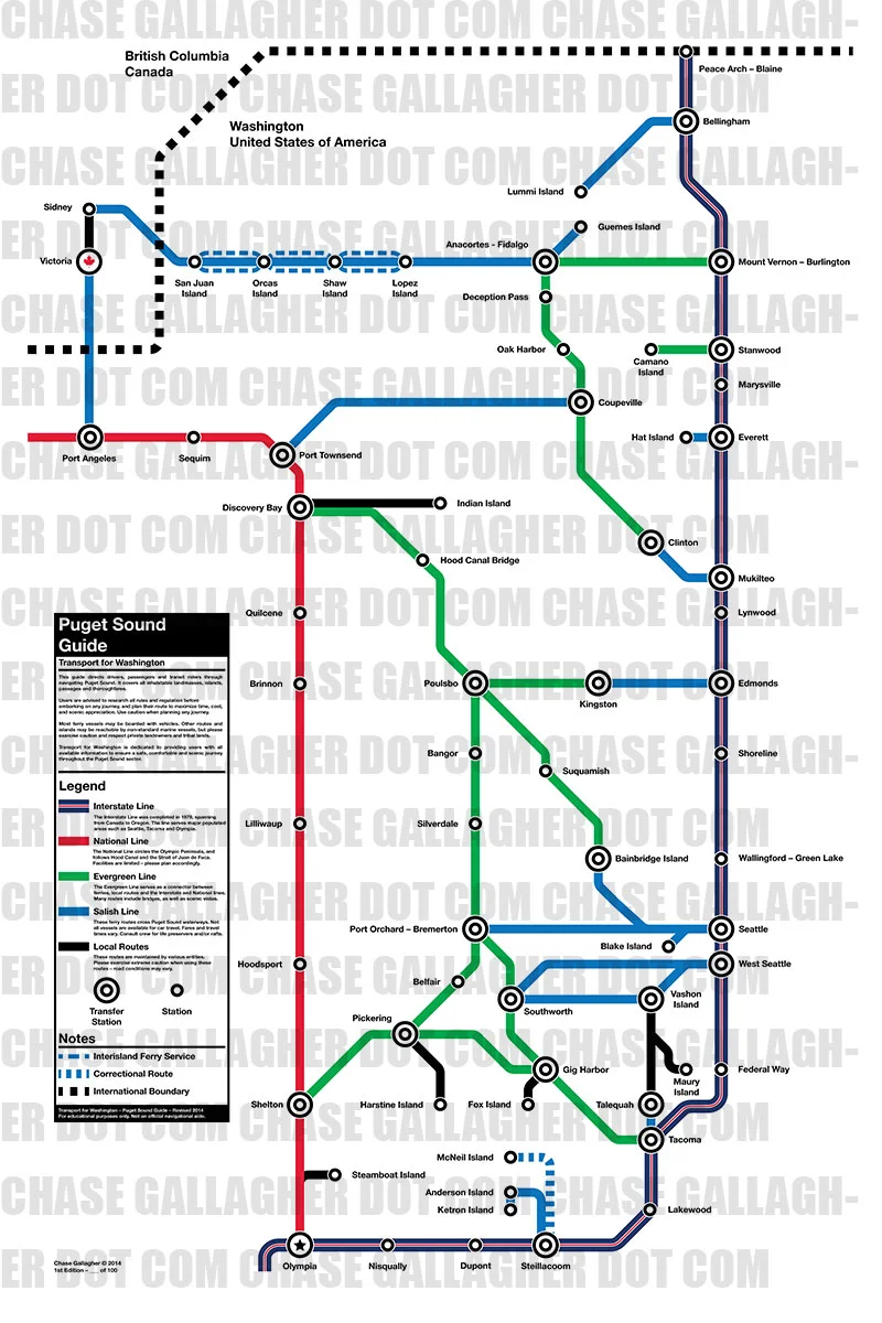
The map covers all the major islands, cities, and routes to navigate Puget Sound. Unfortunately we don't have subways to go across Puget Sound, so I improvised.
I tried to stay true to idea of a transit map not being 100% geographically accurate, but designed to show how one can get form any station on the map to another.
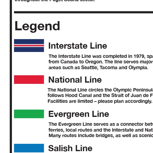
I divided the routes into five "lines" - Interstate, National, Evergreen, Salish and Local. These represent the freeway, US Highway, state highways, and ferries across Puget Sound.
In London I noticed "Transport for London" on the tube posters and I liked that idea of a similar transit agency here in Washington. So this map comes from the made up bureau of Transport for Washington. The bold Space Shuttle-era type is the masthead you'd find on similar guides from TFW.
The map is laid out on a detailed grid, and is set in some big bold Helvetica. Spot colors include Rainier Red, Ever Green, Murky Blue and one or two more.
Big-ass 20"x30" prints are available, blasted via laser on to some vibrant and fade-free photo paper.
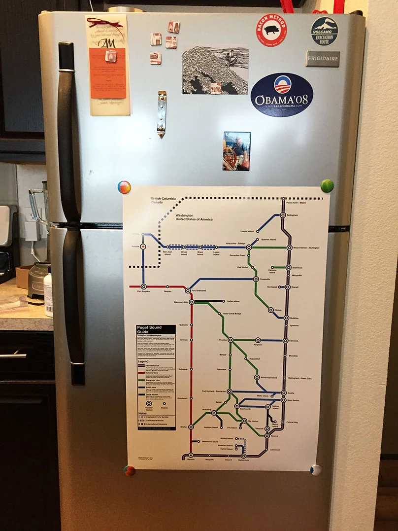
They are horrible for your refrigerator, but great for your walls. I'm still working out the kinks on the store, so if you'd like to buy one, please sign up to be notified here:
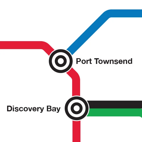
Detail shots:

Note: the type got all wonky when I made this crop in photoshop. Rest assured these lines and words are on the straight and narrow in real life.